|
|||||
I-80 Quick Facts
|
|||||
|
The
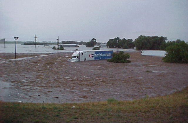
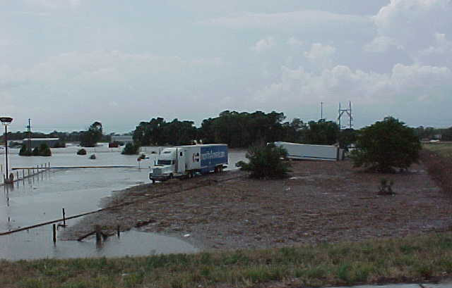
Rains - July 6, 2002 Early reports called it a “500 Year Flood”. A few days later it had grown into a “1000 Year Flood”. Whatever it’s called, it will be just fine with Keith County residents, I-80 travelers, area contractors, and Department of Roads employees if they don’t see another storm like it during either of those timeframes. According to the North Platte National Weather Service Office, who issued the first flash flood warning at 6:29 am MDT, the storm was created by the same northward push of tropical air that caused massive flooding in San Antonio, TX, earlier the same week. When the system reached the Ogallala, Nebraska, area it stalled out. The heavy rainfall started about 1 am CDT on Saturday, July 6, 2002. By the time it tapered off (around 11 am), up to 10 inches of rain had doused the drought stricken area. It poured through the early morning hours onto the farmland south and southwest of Ogallala. It came down so fast that the parched earth could not absorb it. The run-off surged through canals, streams, and ditches, gaining strength as it tried to make its way past the Interstate highway to the South Platte River. The result was a flood that threatened anything that got in the way – farmland, mobile homes, cars, bridges, culverts, and roads. The rising waters quickly turned the dry Western Canal into a torrent. That torrent swelled over Interstate 80 just east of the Ogallala interchange. (Click on each thumbnail below to see a larger view) |
|||||
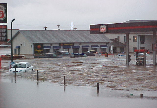 Comfort Inn at the Ogallala Interchange |
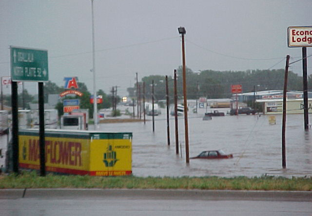 Another view of the Interchange |
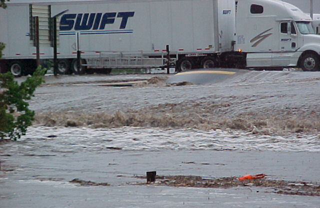 Truck parked at the Interchange. Note the buckled pavement. |
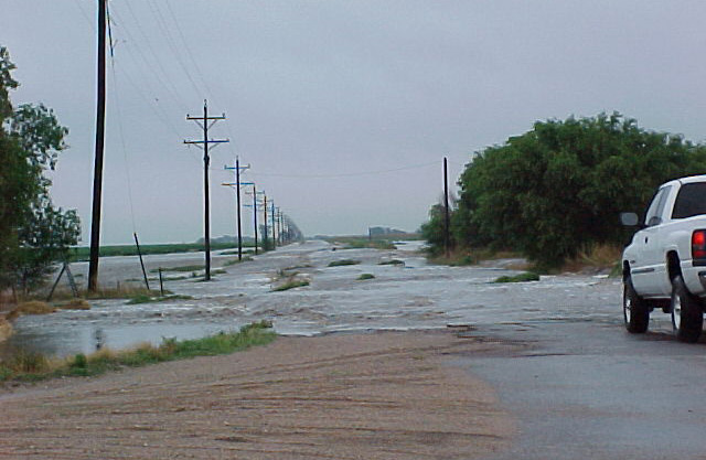 View of road to Grant, just southeast of Brule |
||
 Wendy's parking lot at the Interchange |
 Same view of the parking lot as the waters recede |
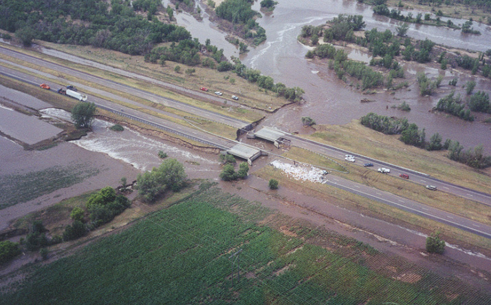 Aerial view of the damaged approaches showing the flood waters receding |
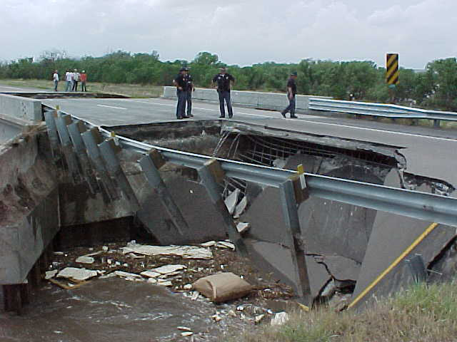 State Patrol personnel examine one of the damaged approaches |
||
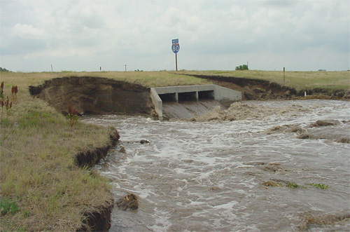 Receding flood waters rush through a culvert and tear out the surrounding earth |
Traffic begins to back up as emergency crews rush to establish detour routes |
 Aerial view of the general flood area |
 National Guard troops help direct traffic on the detour routes |
||
|
Some of these photos were supplied by the Nebraska State Patrol Thanks to the Omaha World Herald for allowing us to use some material from their stories about the flood Contact the NDOR Webmaster |
|||||